|
Elsea Park
A major housing
scheme costing an estimated £10 million that will eventually bring 2,000 new homes to Bourne was announced in March 1999, the biggest single residential development in the history of
the town and when completed in its entirety, is expected to increase the population by 50%.
Original estimates were that it would be completed within a decade but the
economic downturn which began in 2008 delayed building work and has added
several years to the original projection..
Allison Homes, the Spalding-based company handling the development, was already well advanced with
other housing schemes in the town and the influx of new families was having a dramatic effect on the
use of the A15 at this point.
The town's M P Mr Quentin Davies, the member for Grantham and Stamford, also joined in the debate by warning that the development was in the wrong place and that South Kesteven District Council should have been more careful "about handing out planning consents like so much confetti" without due regard to existing roads, traffic flows and the infrastructure.
Despite the opposition, members of South Kesteven District Council's planning and development control committee voted 15-1 in favour of granting outline planning permission when they met on November 2nd and this was subsequently ratified by the full council.
The authority insisted that Bourne would benefit through what has become known as the planning gain which means that in return for permission to build houses, the developers would provide certain public services. This was also the promise made by local councillor John Smith, the member for Bourne West and chairman of South Kesteven District Council's planning and development control committee, who is on record as saying: The district council has passed the outline planning application having first insisted on a design and development brief and also having obtained substantial planning gains for the benefit of the town such as a relief road, a new school, extensions to the Robert Manning and Grammar School classes, an extension to the grammar school playing fields, a community hall, playing fields, nature areas, cycle routes, local shops, pub, surgery, children's play areas, employment opportunity area, improvements to the library, town centre traffic lights, a regular community bus service to the town centre and more.
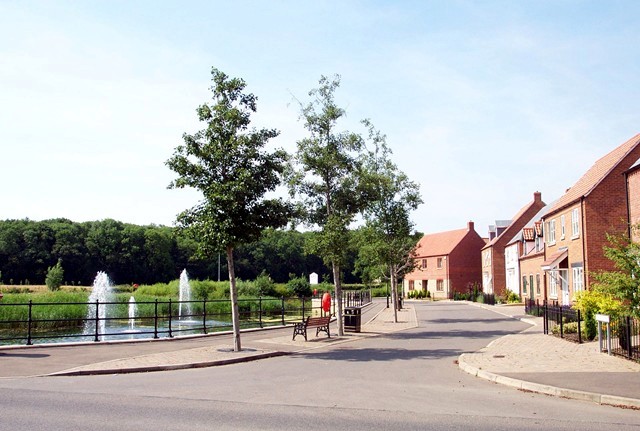
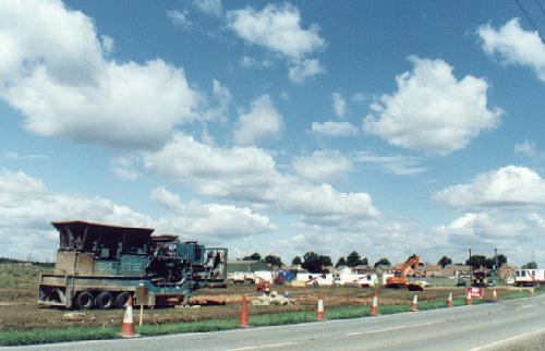
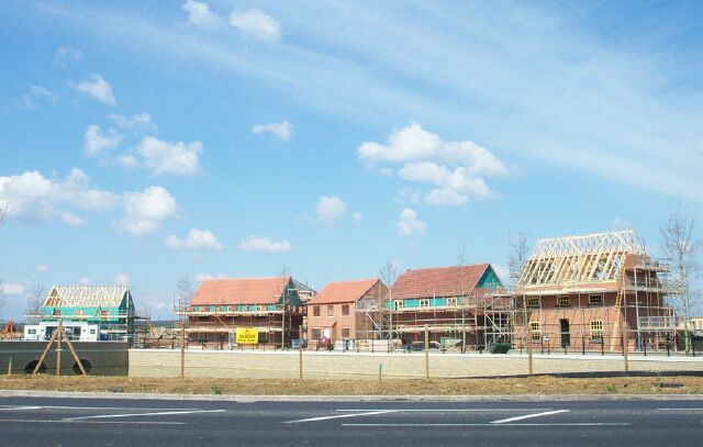
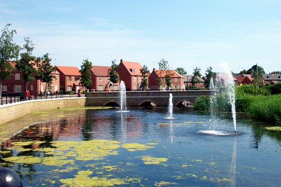
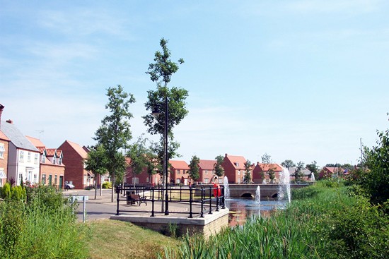
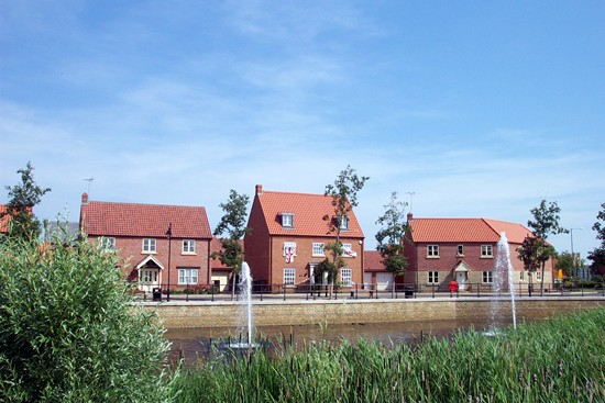
Work on the new estate and the realignment of the A15 at this point started during the summer of 2001 and by the summer of 2002, the first of the new homes had been completed. They formed the initial phase known as St Peter's View, the gateway to the residential development, at the entrance to the estate accessed by a bridge crossing an ornamental lake with fountains spouting water. Three hundred people who attended a public launch of the project were told that all homes would feature energy efficient technology, including superior levels of insulation, and, wherever possible, building materials would be specified as being from local and sustainable sources.
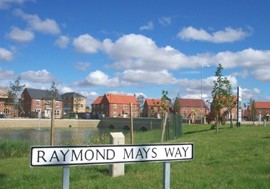
The first of the street signs that went up on the perimeter road remembered one of our most famous sons who brought fame to the town through his achievements in the international world of motor racing when it was named Raymond Mays Way, while the town also began to benefit from the planning gain with the completion of the new south west relief road which eventually opened to traffic in 2005 after a five-month delay caused by problems between Lincolnshire County Council and the developers.
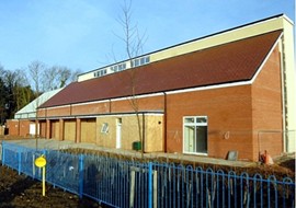
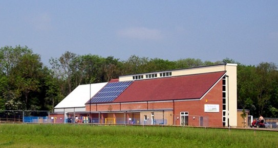
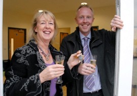
Work continued uninterrupted for the next three years until the building industry was hit by the recession which forced developers to cut back on their programme. In the meantime, home owners on the estate protested that the other amenities promised by the developers had not materialised although they were being forced to pay £200 a year to the Elsea Park Trust to provide them. By this time, Allison Homes had been taken over by Twigden Homes and after pressure by residents, they applied for permission in December 2008 to build the long-awaited community centre and four shops although the planning application appeared to be dependent on a second application seeking sanction for yet another 43 housing units, this time apartments in a sheltered accommodation scheme designed specifically for the over-55s. Local councillors applauded the decision, apparently forgetting that these amenities and others had been promised ten years before. The new community centre was finally completed early in 2012 when the developers, Kier Homes, handed over the keys to new £750,000 building off Sandown Drive. It includes a reception and lounge area, an office for the Elsea Park Community Trust which will run it, kitchen and main hall with a stage and an outside patio area, while the hall is linked to the estate through footpaths and cycleways. "It has been a long time coming but everyone is very excited about it", said Angela Bailey, chairman of the Elsea Park Community Trust. "The hall looks absolutely stunning. It will provide the estate with a real heart. We are already beginning to see a village atmosphere developing and the new centre can only further engender that feeling of community."
REVISED MAY 2012 See also The Elsea Park Community Trust The south west relief road Why Elsea Park was approved - by Councillor John Smith
Go to: Main Index Villages Index |
||||||||||||||